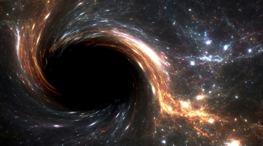


There are strange objects in our universe that scientists continue to discover, such as the black hole. Black holes were thought to exist in theory, but in 1971, the discovery of the first black hole, Cygnus x-1 made scientists change this thought. The black hole continues to maintain its mystery and an almost science fiction …
5 Incredible Facts You Need to know about Black holes